The Scientist

I was just guessing at numbers and figures, Pulling your puzzles apart, Questions of science, science and progress, Do not speak as loud as my heart. -Coldplay

Sunday, July 30, 2006

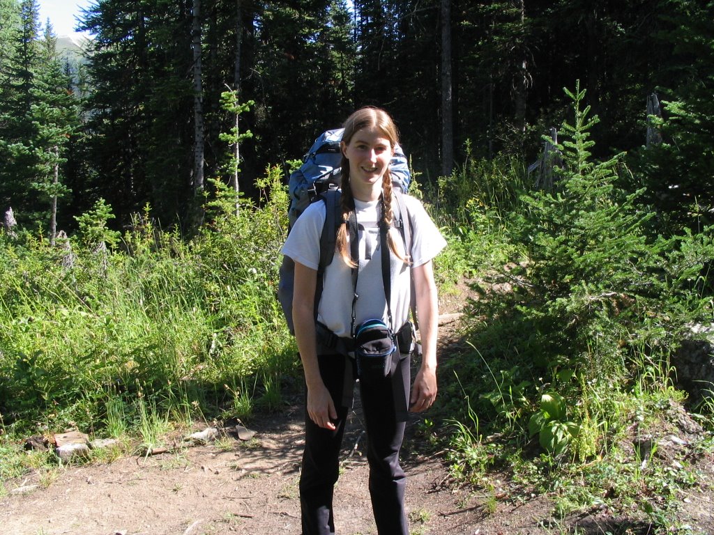
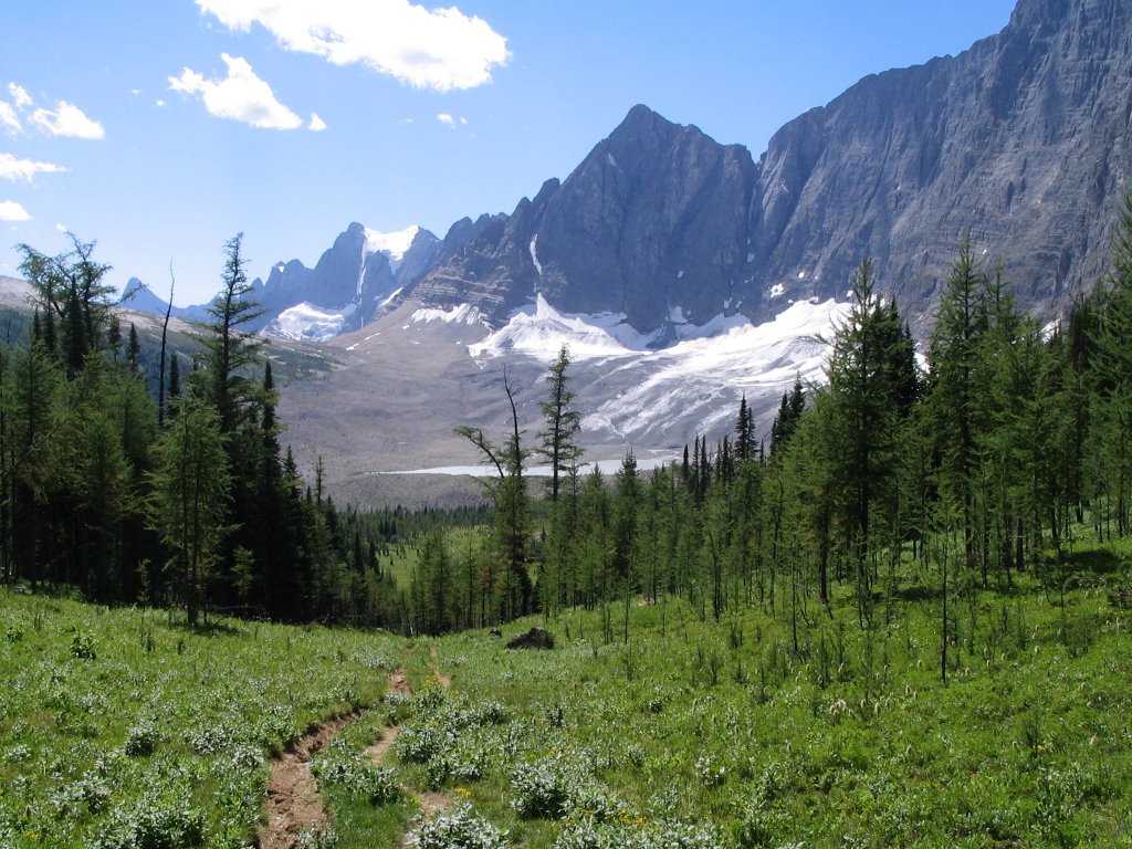
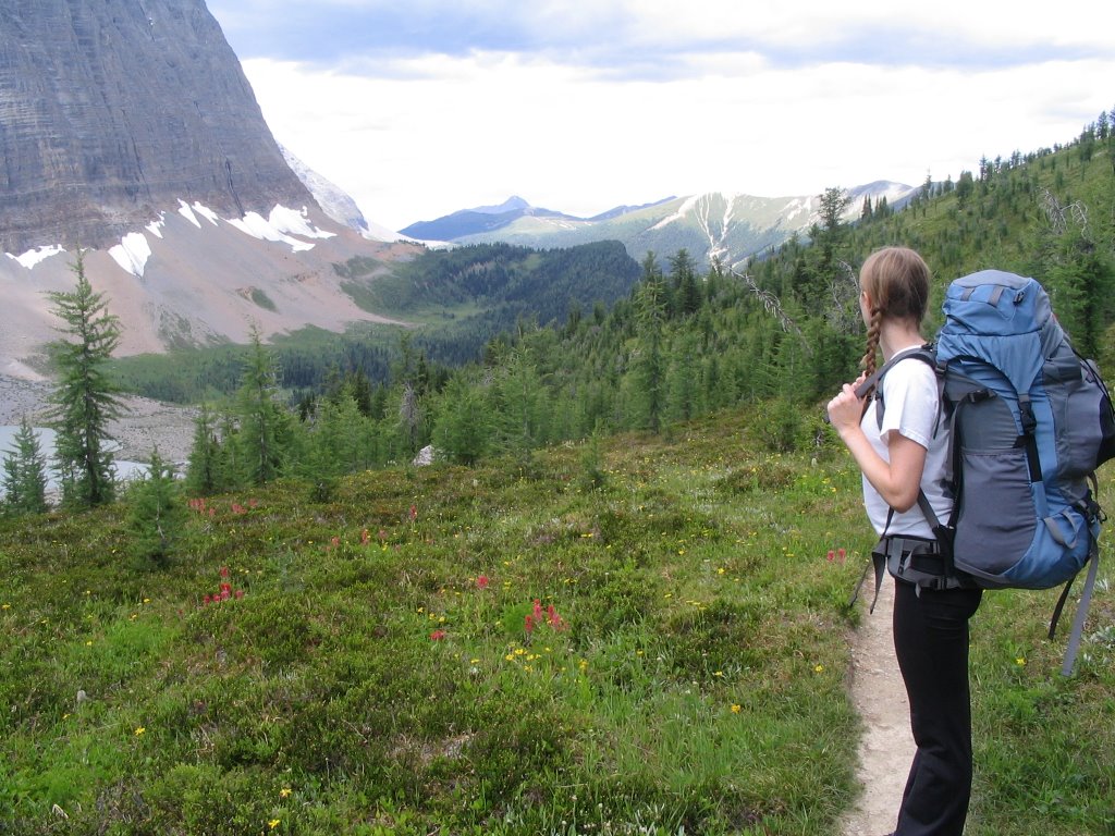
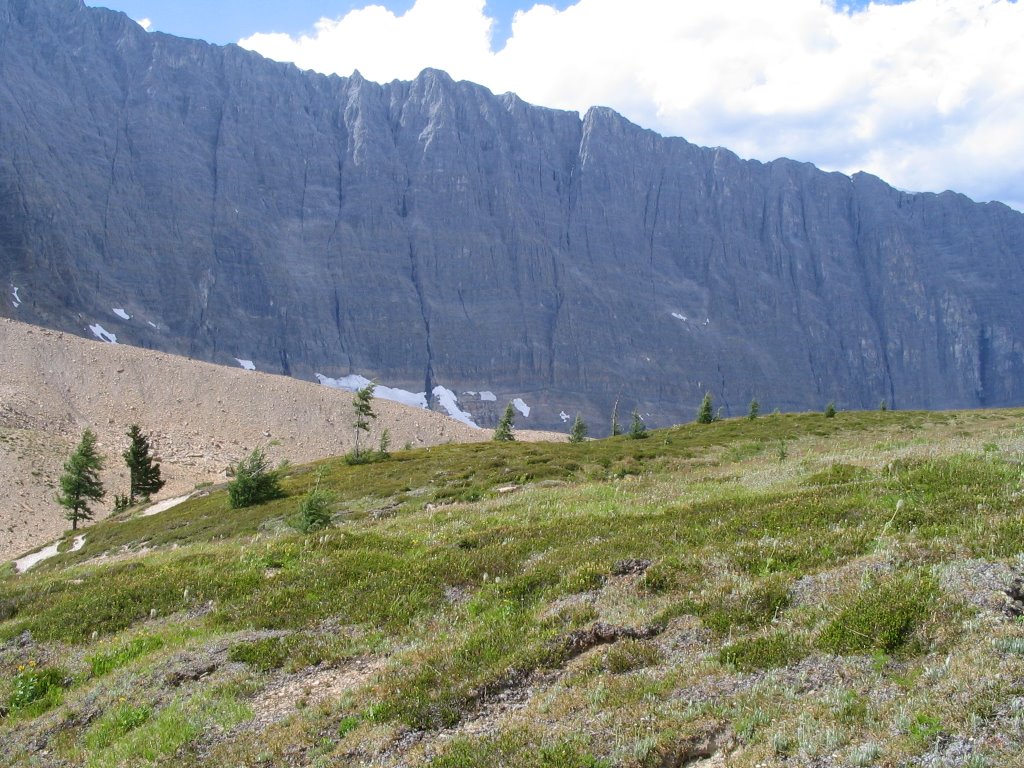
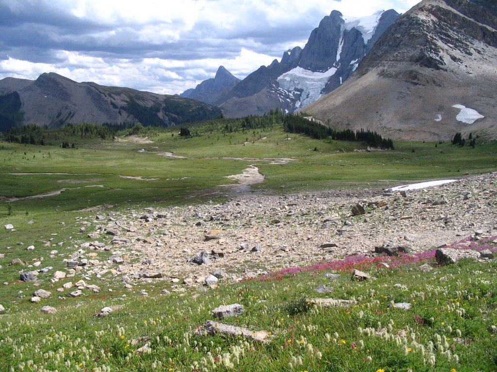
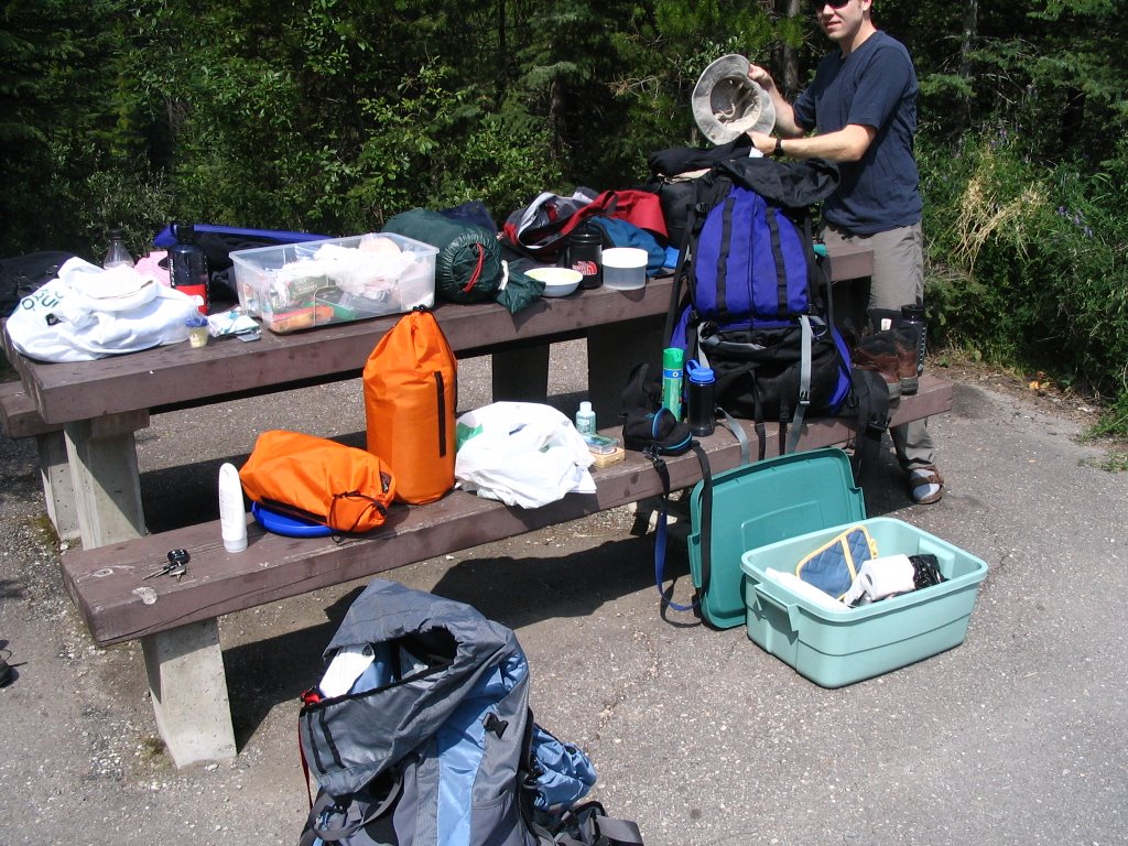
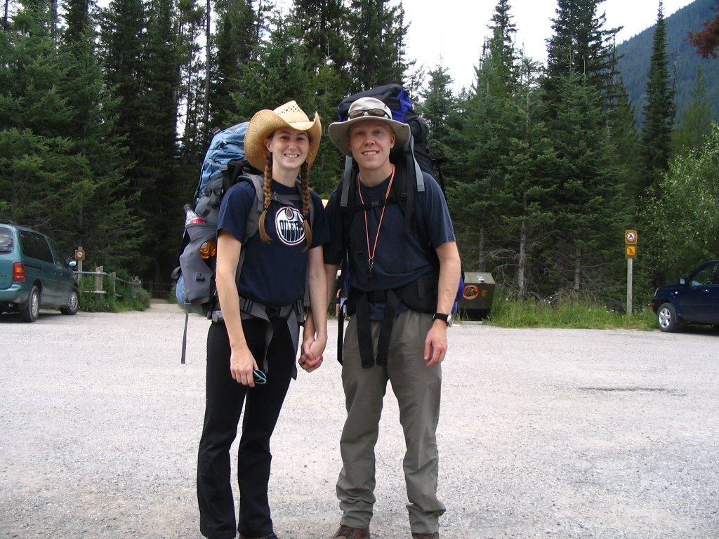
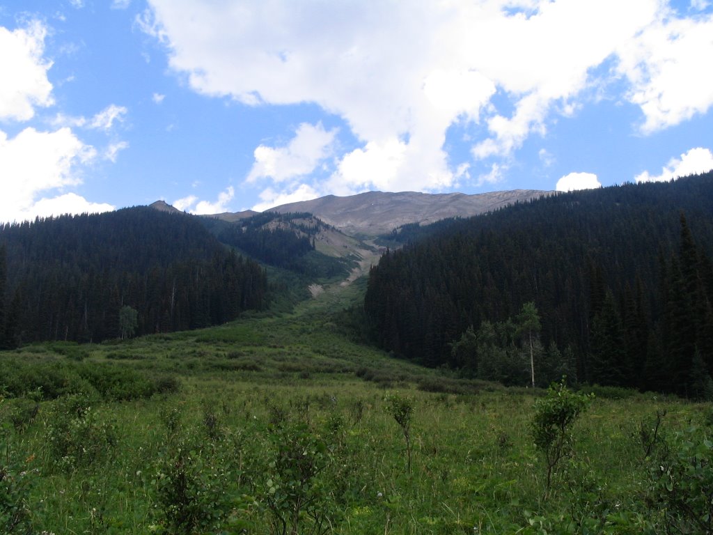
Day three, leaving the mountains

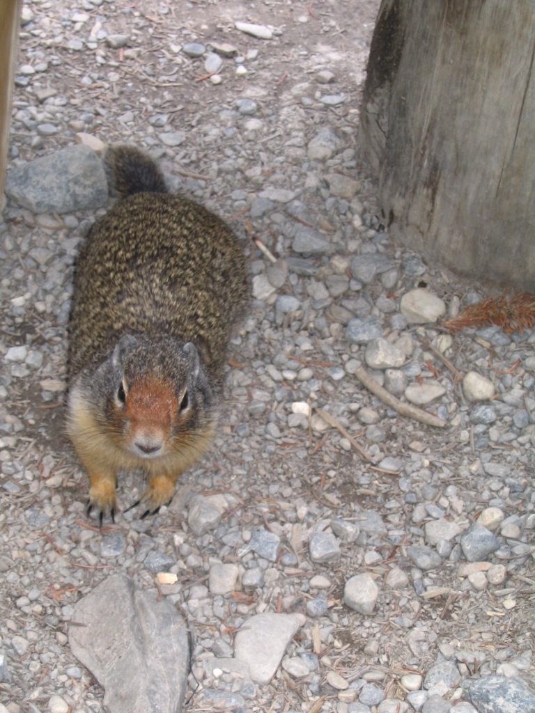
Marmots!! So cute! I took about 20 pictures of this little guy as he got closer and closer to me. The first picture is where he and his buddy started out and the second one is how close he ended up.
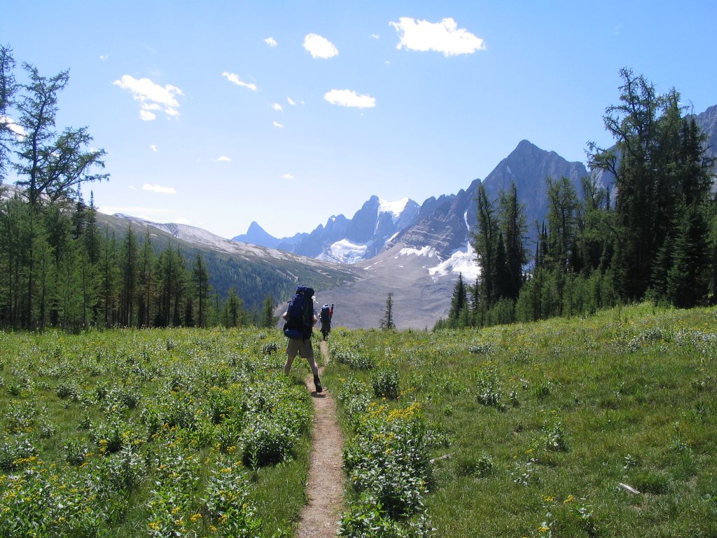
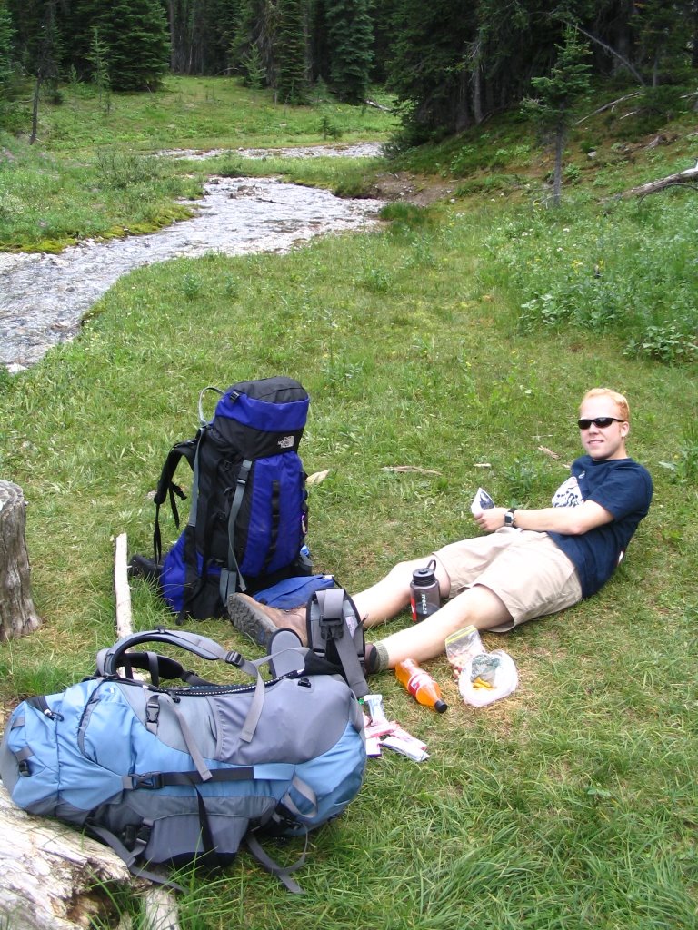
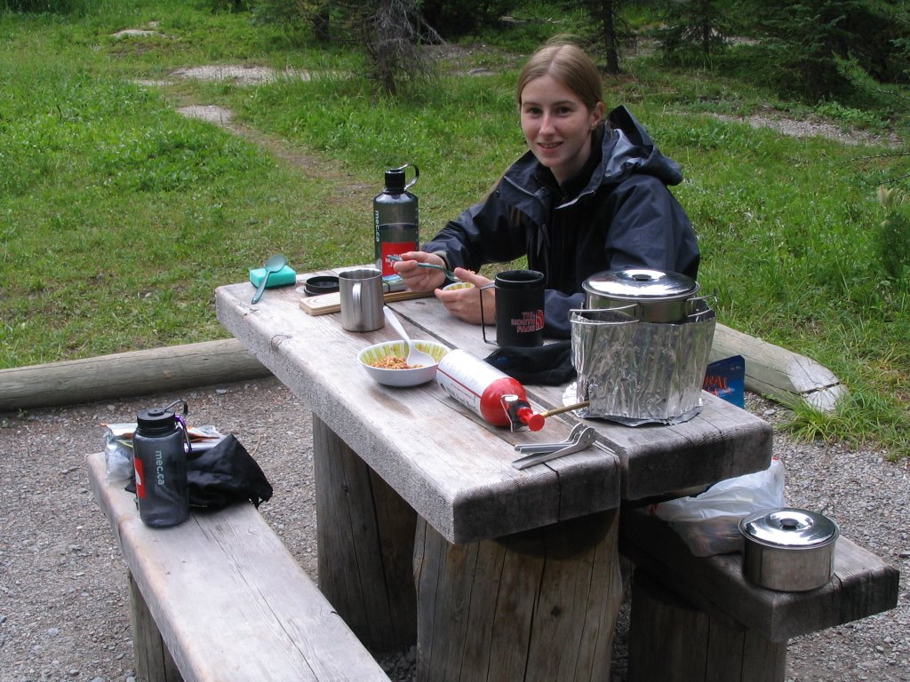
Our hike out of the mountains started with some instant pancake mix from MEC. Seems like a good idea? Well, Garrett really liked them once he got the hang on not burning the little suckers, but I didn't find them that appealing. In any case, we ate some grub and loaded up to head out to freedom! Freedom, that is, from our packs, boots and sore parts.

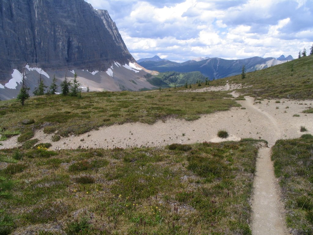
The trail was 11km to hike out and 300m elevation drop. Sounded great! We started off around 10:30 with high spirits, and since we were descending and not panting the whole time, we sang songs to pass the time. It really helped to distract from the sore feet and knees. Unfortunately, it's hard to sing whole songs without the music and there aren't really that many songs we knew all the words to. I'm sad to admit that some of the ones we knew best were country: 'Save a horse, Ride a Cowboy' by Big and Rich, 'Beer for my Horses' by Toby Keith and Willy Nelson and 'Truck got Stuck' by Corb Lund Band. Very embarrassing for a girl who has been spurning the country influence of Alberta for the last two years. Anyway, we also sang some Bon Jovi and Green Day, so I like to think that made up for it. Luckily, there were no other people on the trail to hear us massacre all that we sang - while Garrett can carry a tune, my abilities are strongly lacking.

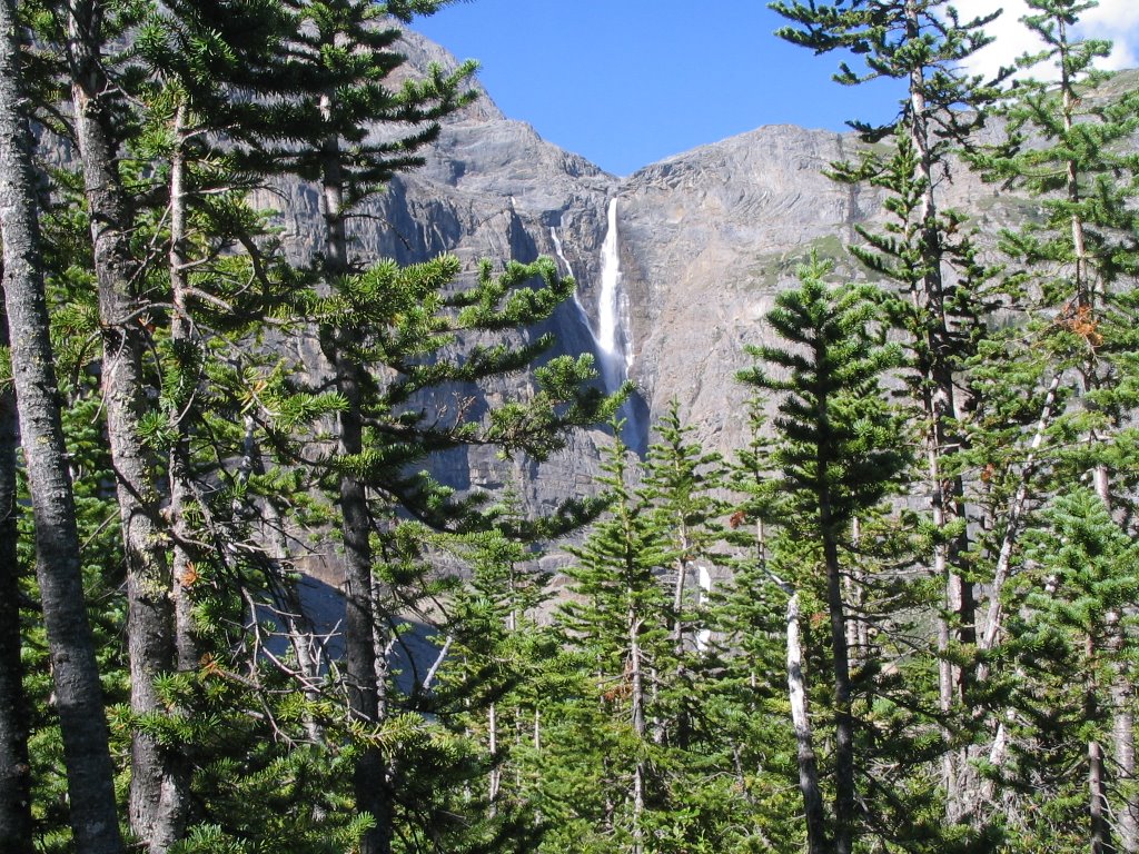
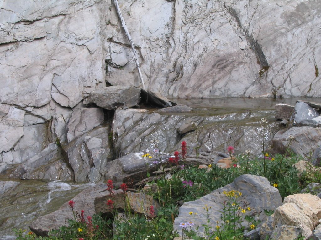
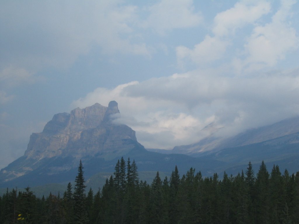
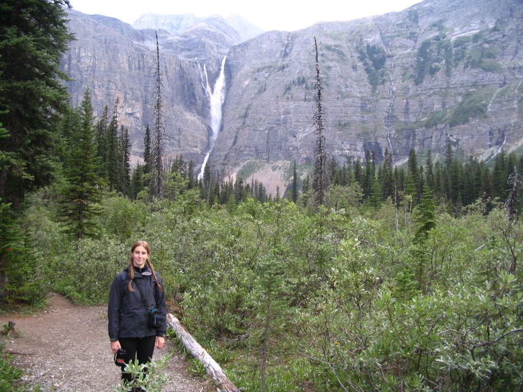
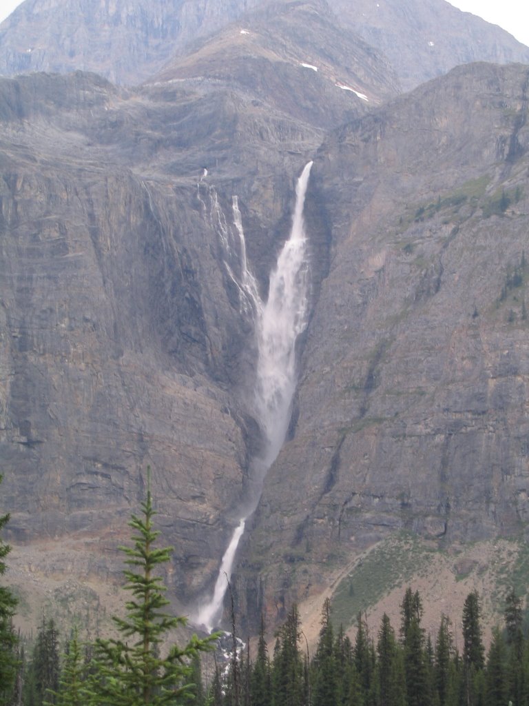
One of the sights out that day was a large waterfall churning to the ground. While not as high as Helmet Falls, it was impressive none the least.
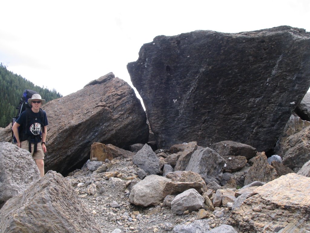
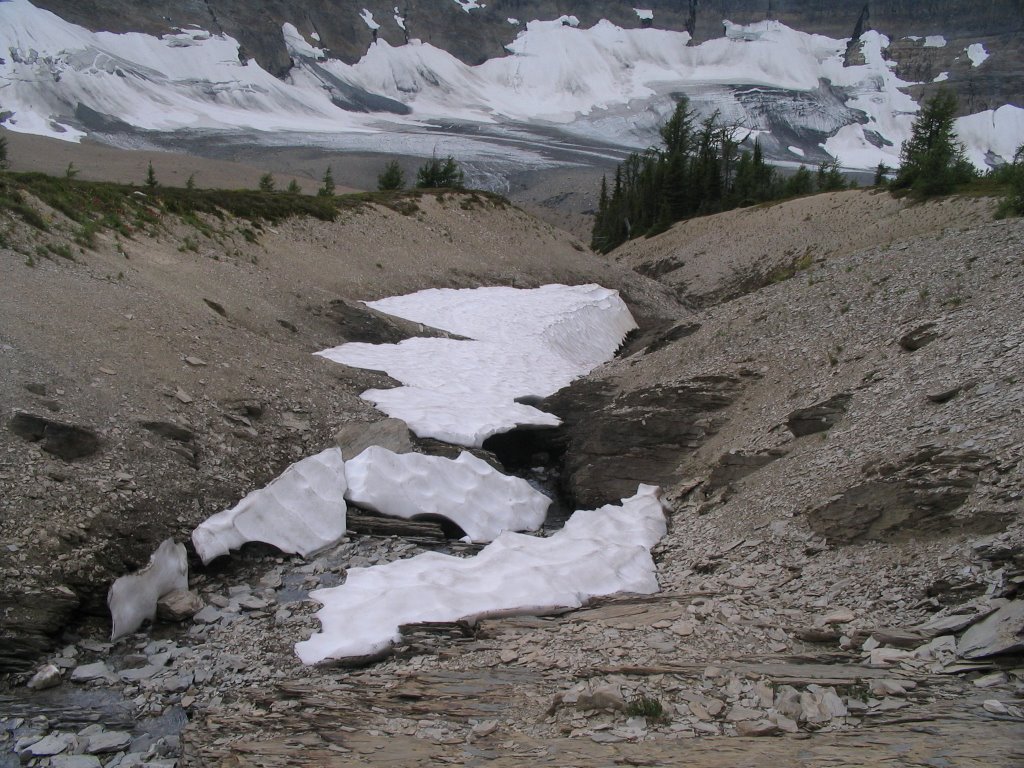
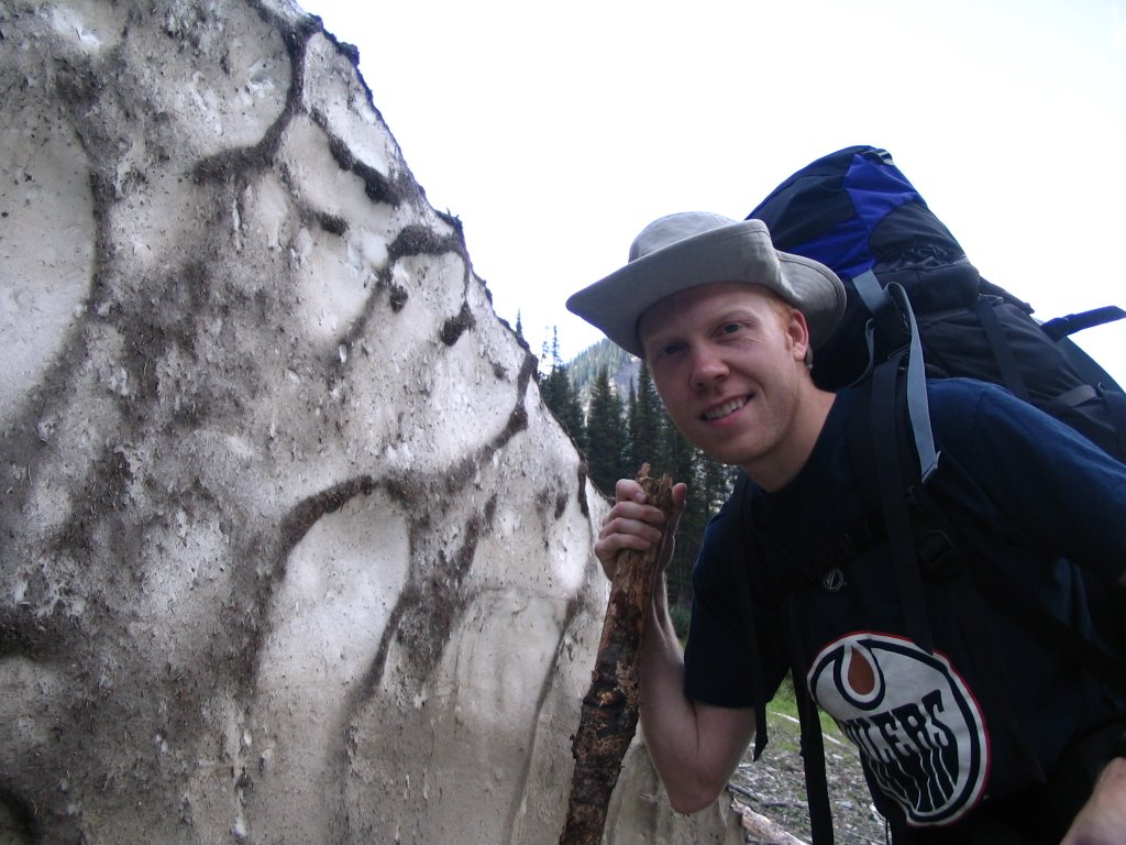
The trail out of Tumbling Creek was in really poor shape for the most part, because it isn't used very often and a lot of debris comes down the mountain to mess up the trail. Meadow trails were overgrown, and some cliffside trails were washed away altogether. We came across the remains of several avalanches from winter, complete with snow still. Two such avalanches completely obliterated our trail and we had to travel around them. We walked on the bottom side of them near the river, which had cut away the snow in a very straight line. See below: 
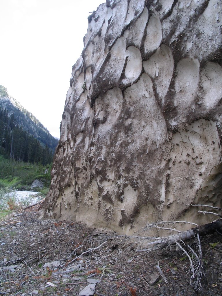
We wisely didn't try to climb over the snow packs, as this was the cave melting away on the inside:
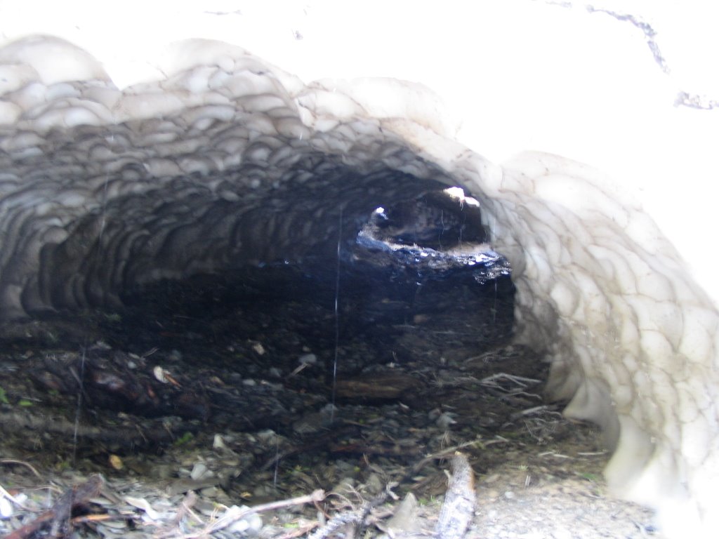
If anyone can explain to me why it melts this way, I'd be interested in knowing. In any case, it was pretty cool to see, but fairly annoying to scramble over the debris and back to the trail.

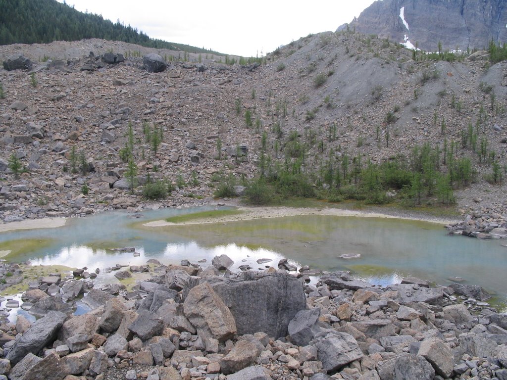
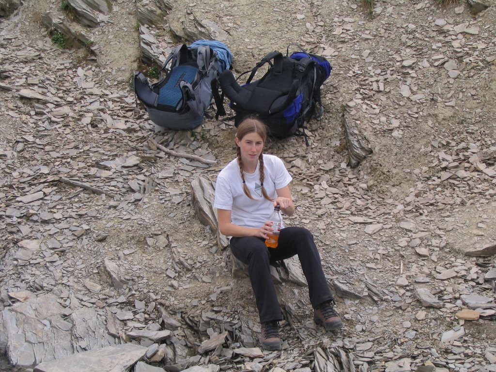
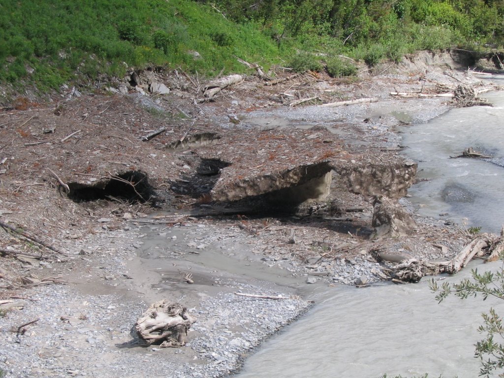
This picture below is some more snow pack from an avalanche that has been worn away by the river so that it's just held up by one little part on the right. You can see right under it.
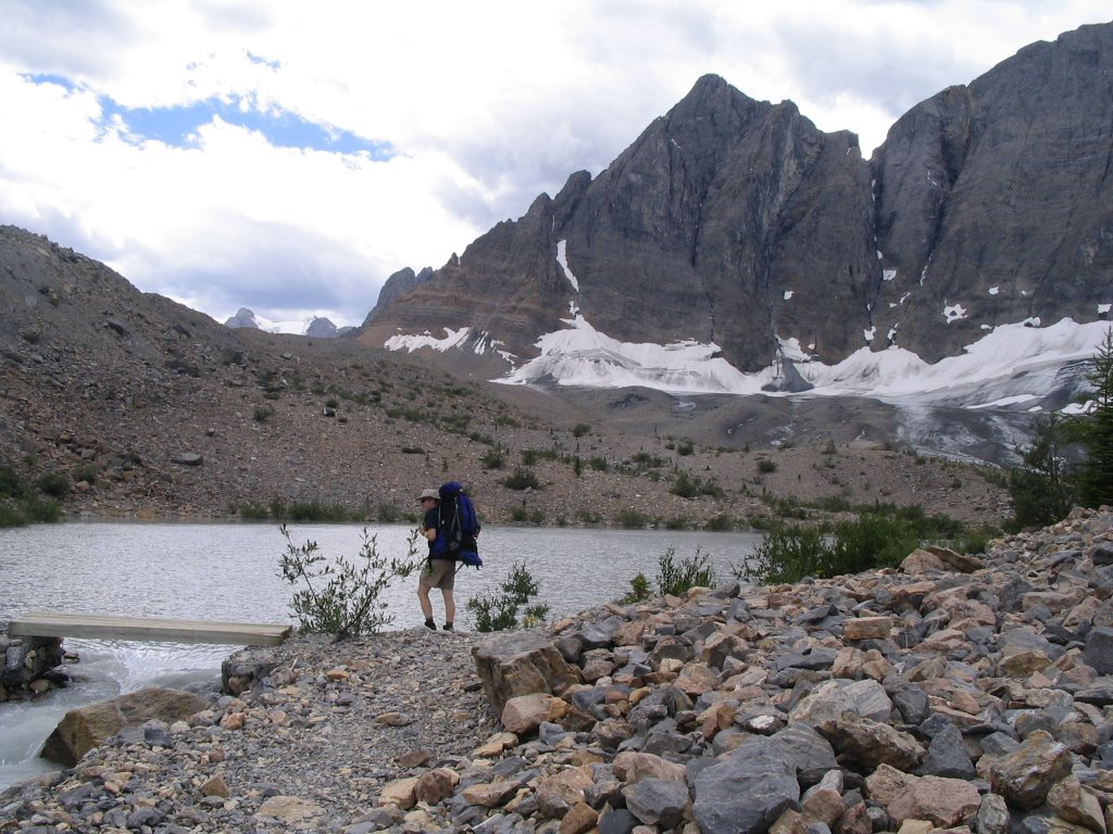
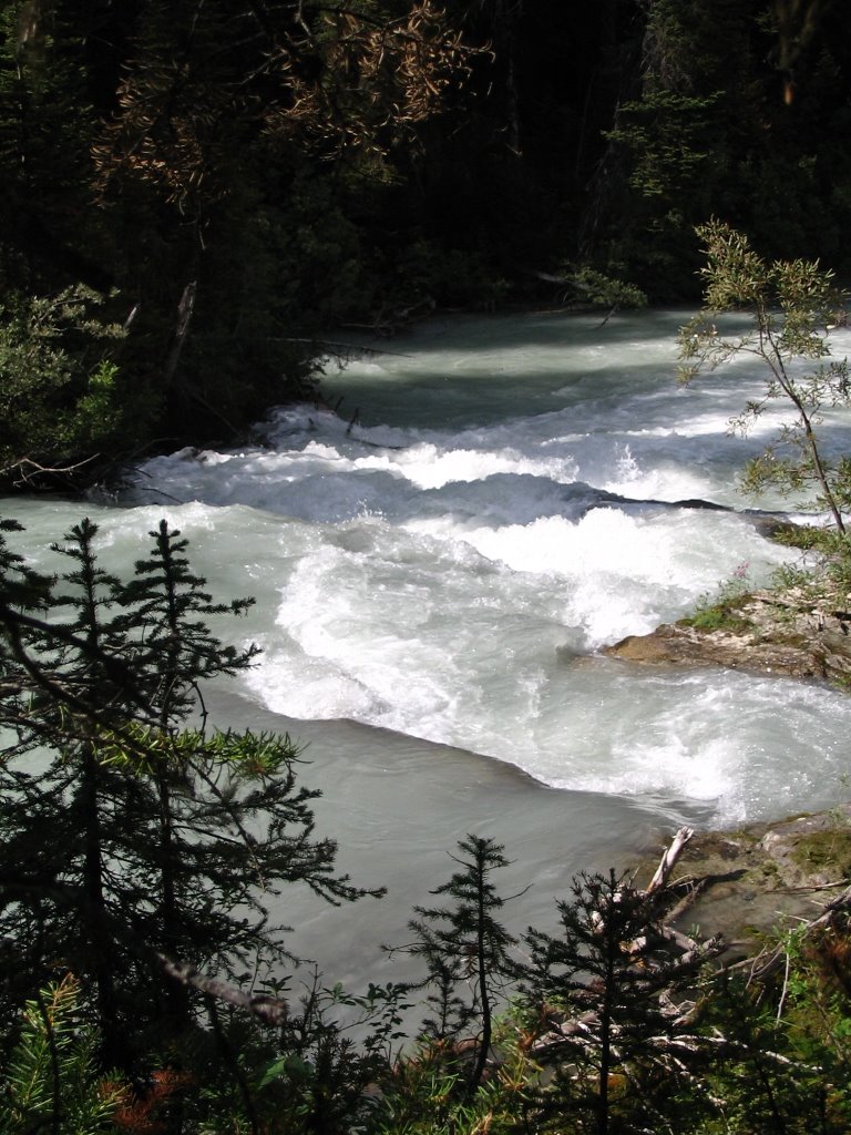
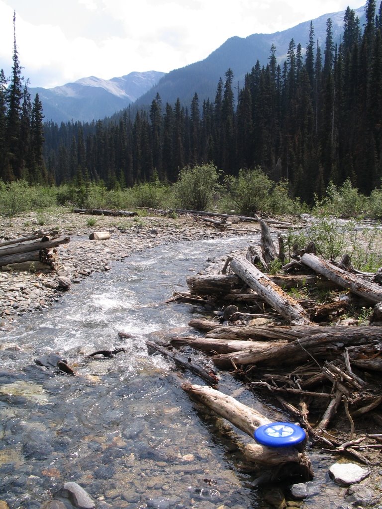
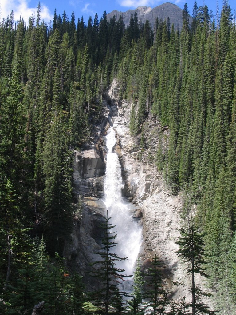
We followed Tumbling Creek for the whole trip out and saw some nice rapids along the way:
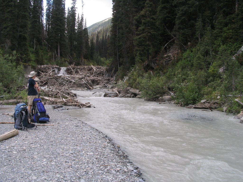
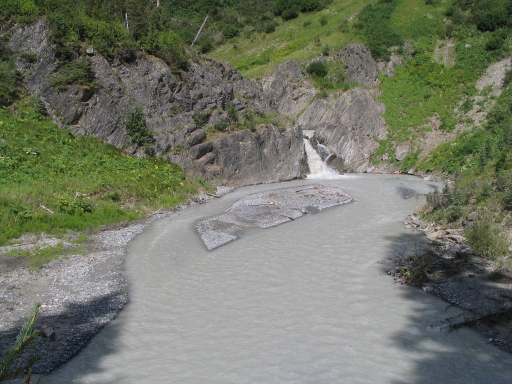
And then...dunh dunh dunh...
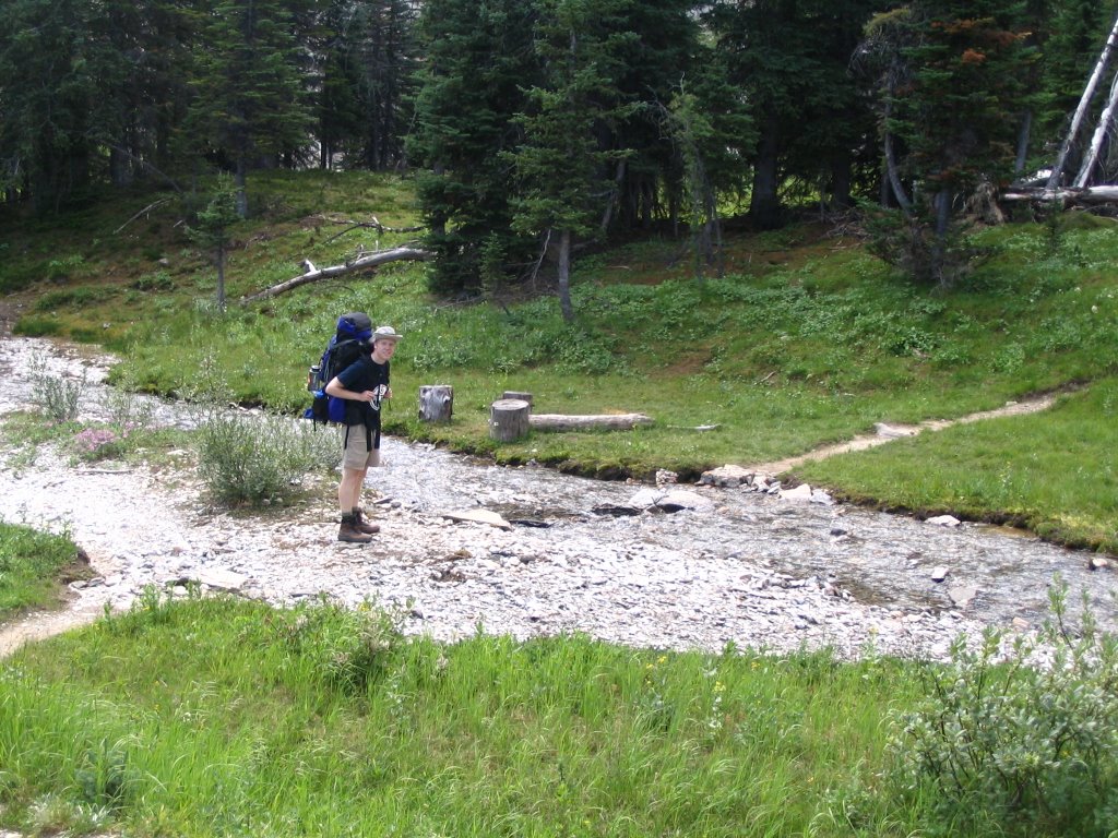
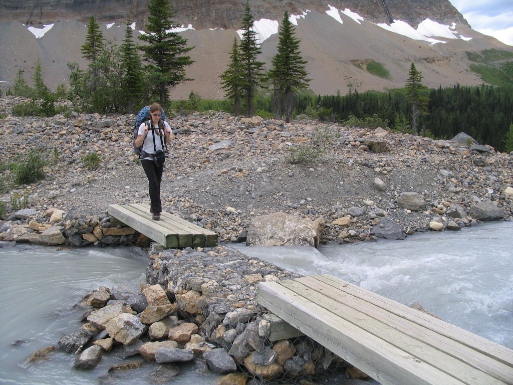
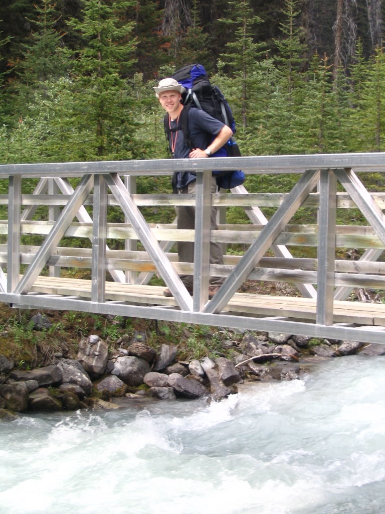
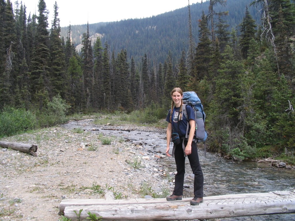
We reached the washed out bridge. We had been told ahead of time that it was washed out, so we were prepared to cross it when the time came. This is where we crossed the river:
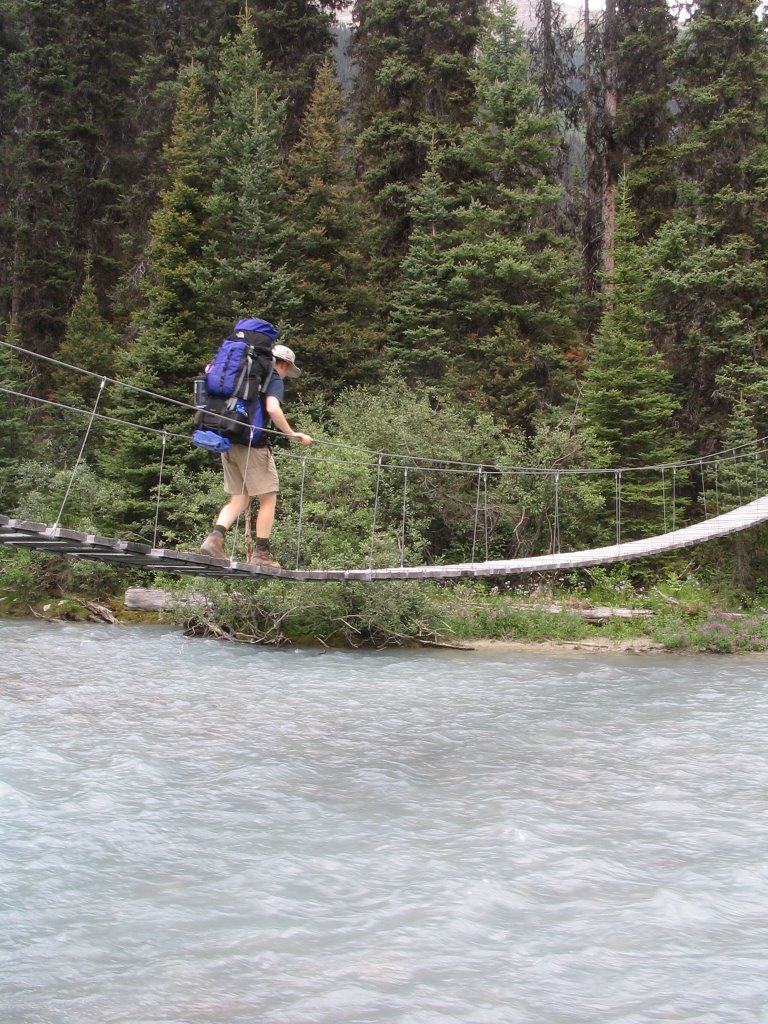
Others had crossed here and marked it off, so we knew where to go. We took off our boots and put on our sandals, rolled up our pants and held walking sticks in both hands. Then we plunged in. ICE COLD!!!! The current was pretty strong so we had to really hang on to keep our footing, and the deepest it went up to was just below the knee. As we crossed the worst of the current and reached shallower waters on the other side, the pain of the freezing water started hitting us and we rushed out as quickly as we could. Then we hopped around and moaned and complained about how cold our feet were! Ack! But we made it! We put our boots back on and headed on down the mountain.

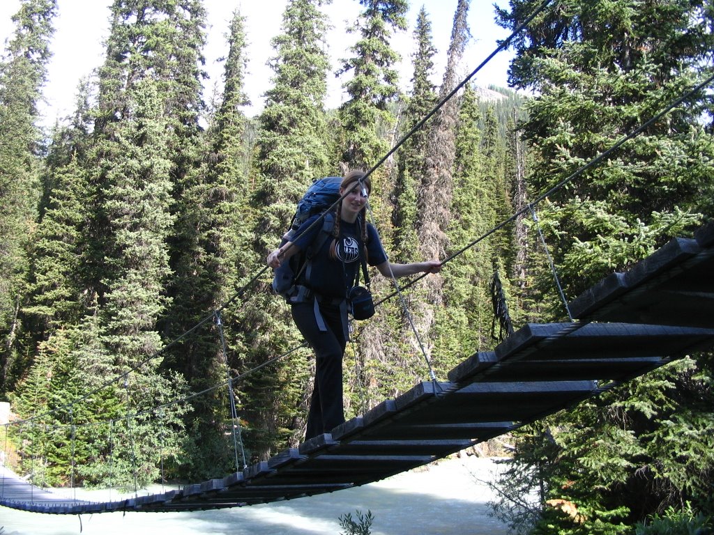
We crossed over Tumbler Creek:And shortly after that found a sign that said it was only 3.9km to the highway. This is my excited/slightly dazed face:
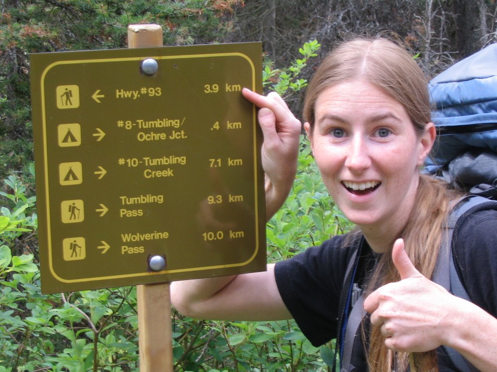
Finally, oh finally, we made it to the car, where we quickly took an 'After' picture before getting in the car to avoid the impending thunderstorm. Yes, we are actually having trouble standing up.
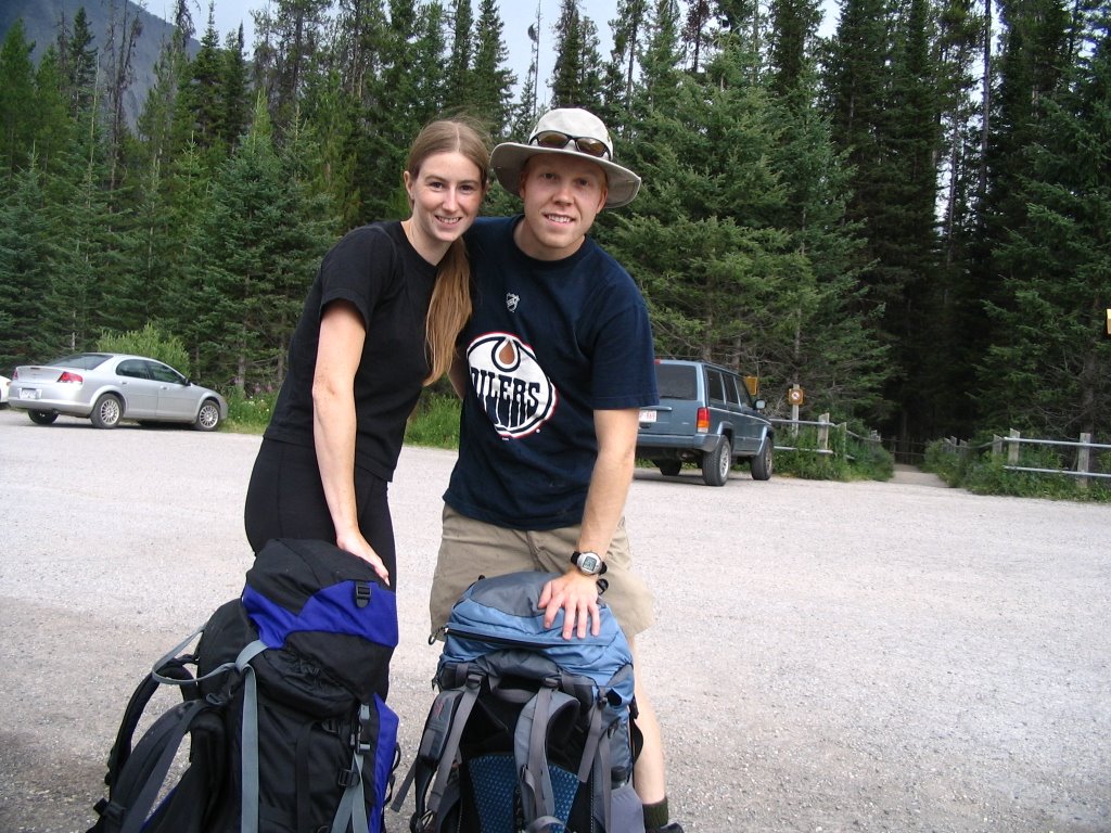
We drove down to Radium and hit the hotsprings to soak our pains away. Glorious and much needed as we were hobbling before that. We camped in Radium before driving back the next morning.

Saturday, July 29, 2006

Rock Wall Day 2 - Up Down Up Down

Day two started off with a moderately early wake-up, however we didn't rush to get on the trail right away, taking time to eat breakfast and pack up. Today was to be our most challenging day - 12km total distance (although a group of hikers who did the trail the day before said their GPS measured it at 16 km. Hmm...) and two elevation gains and losses. The first climb started right outside of camp when we crossed the river. We climbed up 310 meters, taking our time to do so, as our strategy was 'slow and steady wins the race'. I wrapped up my knee with some tape and a tensor bandage, and it didn't feel too bad on that first climb, although I kept myself from taking huge steps and aggravating it. The weather was nice and sunny, yet not as hot as the day before, so we didn't get nearly as sweaty as on our hike in.

Here's a shot of Helmet Falls from part-way up the mountain.A picture of me, when we were part-way up the first climb.This little fellow is named 'Mo Mo' and he belonged to a group of hikers that we followed and shared camps with for both nights. I just thought he was pretty cute since he had his own little harness to carry stuff.Our trail map said that once at the top of the first ridge, it was 1km and 250m down to the river at the bottom. Garrett and I decided to have lunch down by the river, so once we made it to the top (oh the glorious top!), we stopped to take a few pictures before heading back down.It seems such a shame to climb up that high before immediately start all the way back down again. Why did we have to climb it at all?! Anyway, after walking much farther than just 1km (inaccurate map), we got to this little stream and settled down for a brief lunch and relax.Following our lunch, we headed through some rocky terrain to start back up on our second climb of the day - 320m. The area at the base of the mountains was really interesting and different than the other landscape we'd been through before - every few km's during our hike we came across a new landscape of one sort or another.We crossed the river and prepared to start climbing ridge number 2.This was a nice little stream before we re-entered the forest. Note the wildflowers growing in front - these flowers were all over the place and really contributed to the beauty around us. Climb number 2 was far more grueling than the first one, as it was steeper, higher and we were tired from the many hours of hiking we had already done. As well, eating immediately before engaging on a steep climb is probably not recommended, and my stomach didn't really care for my choice of activities after stuffing it with yet more granola bars and trail mix. I did manage to keep everything down however, and struggled up the hill with my increasingly aching knee and tired body. We climbed up above the tree line and I had to admit that the view was fantastic and the landscape amazing. Being up that high was probably my favorite part of the trip. I just loved how neat everything looked, and how far we could see. However, just before achieving our summit I called an emergency break time where I re-hydrated myself and attempted to feel better. I was feeling pretty poorly after the climb, likely due to drinking too little water, not eating enough (seriously, you can get tired of granola bars REALLY fast) and pushing myself hard up the hill. Here's a picture of me not looking too happy.After a brief break and the application of some much needed water and gatorade, I was good to go again. The wind really picked up at this point and we started to feel very exposed to the weather, as it looked like some dark clouds might roll in. Luckily, they blew right by us, but the wind was strong and persistent for about half an hour until we descended a bit.
Here's a picture of the Rock Wall, that which the hike was named after:This valley below was also one of my favorite parts of the hike. It really reminded both Garrett and I of those 'Ricola' cough drop commercials, and I couldn't help but call out 'Ree-Co-La!' a few times just for fun.Also at this valley was Wolverine Pass, a short trail between the mountains that allowed us to see west towards more of the BC mountain ranges. We ditched our packs for this brief detour.The other great part about this valley was that it indicated the start of our descent into the campsite, another 350m down from where we were. This part of the trail was also really rough on our tired and sore bodies as we neared our seventh hour of hiking! By this point I contemplated just rolling myself and my pack down the mountain. I also thought about tossing my stupid pack down the side of the mountain and sending my hiking boots along with them - I was so sick of both! Sore shoulders/back/hips and sore feet! But I didn't. Oh, but how I wanted to.

On the way down, I finally wised up and found a walking stick to facilitate my descent. When we finally made it into camp, it was all I could do to get to our tent site before laying down and resting my poor self. We set up camp and went to make ourselves some more grub, after which I konked out for an hour nap because I just couldn't stay awake anymore. So tired!
We met some nice people on our trip as well. Most of the other hikers are really friendly and considerate of each other. We spoke with a couple from San Francisco who also found the hike grueling, and were likewise looking forward to visiting Radium Hot Springs once out of the mountains tomorrow.

Friday, July 28, 2006

Enter Kootenay National Park, Hello Rock Wall

Friday morning started with 3 thunderstorms rolling past our campsite before 9am. At first I was concerned that we might start our hike in the rain, but by the time we got up, the weather was clearing. We packed up and found some breakfast, after which we parted ways with Kristine. Garrett and I drove from Banff into Kootenay National Park to the trail head at the 'Painted Pots'. This is a cool mountain that we drove by on the way into the park:We packed up our bags in the parking lot - here is a picture of all the stuff we shoved into our two packs (minus the plastic bins):After a lengthy sorting/packing procedure, we saddled ourselves up and took a 'Before' picture:Don't we look excited and happy! Little did I know what awaited me...

Once packed up, we started our trip by trekking through the Painted Pots, which lasts for the first kilometer of the trail. The red-orange soil of the area originates from minerals pools at the top of the slope. Native people traveled here in the past to collect the soil and use it as a dye for all sorts of things. From what I remember from the signs, iron is the main contributer of the colour of the soil. Have a look:These are the pools from which the coloured water trickles down.Once past the Painted Pots area, we started on our real hike to Helmet Falls, 15km from the trail head and with 310 meters of elevation gain. The first part of the trail was fairly casual and we passed several mountainside meadows on the way.Throughout the trip we were following one river or another. On the way in, we followed Helmet Creek, source Helmet Falls. It's a fast flowing river that is cloudy white with some tinges of blue - not something you'd want to drink, but looks cool. We crossed the river via bridges several times throughout the day.After several hours of hiking (6 km along our hike), we stopped at the first camp site for lunch.After the chow, we headed out again for the longest stretch of our hike, including the elevation gain up into the mountains. This was a really grueling part of the trip for us, as the trail stretched out longer and longer to our tired bodies. Eventually we made it to the suspension bridge that indicated we were 3 km's from the campsite. Sometime after the suspension bridge, I started to have some real troubles with my knee. I started avidly hobbling, a movement which I was to maintain for the rest of the trip as my knee rebelled against the weight and strain I was putting on it.
After what seemed like forever (5.5 hours), we finally made it to camp. I was so excited to finally be able to take my stupid pack off, remove my hiking boots and relax! We made dinner using Garrett's camping stove and pots, boiling water to add to our dehydrated meal. It tasted good, even though it wasn't really cooked all the way through. Our campsite was located right near Helmet Falls, so throughout the night we could hear the falls in the background. Helmet Falls is one of the largest waterfalls in Canada, crashing a whopping 300m to the bottom. The thunderous noise it makes contributes to its impressiveness, so the pictures don't really do it justice compared to experiencing it in real time.Once at camp, Garrett and I talked about just hiking out the next day, going back the way we just came in, rather than going on towards our next site, Tumbler Creek. My knee was hurting really bad and we knew we had a lot of climbing and distance to do the next day. We decided to see how I felt the next day before we decided, since it was a shorter distance (12km) to the next camp than going all the way out again (15km).