Rock Wall Day 2 - Up Down Up Down
Day two started off with a moderately early wake-up, however we didn't rush to get on the trail right away, taking time to eat breakfast and pack up. Today was to be our most challenging day - 12km total distance (although a group of hikers who did the trail the day before said their GPS measured it at 16 km. Hmm...) and two elevation gains and losses. The first climb started right outside of camp when we crossed the river. We climbed up 310 meters, taking our time to do so, as our strategy was 'slow and steady wins the race'. I wrapped up my knee with some tape and a tensor bandage, and it didn't feel too bad on that first climb, although I kept myself from taking huge steps and aggravating it. The weather was nice and sunny, yet not as hot as the day before, so we didn't get nearly as sweaty as on our hike in.
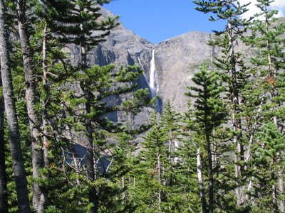
Here's a shot of Helmet Falls from part-way up the mountain.
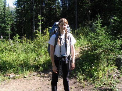
 A picture of me, when we were part-way up the first climb.
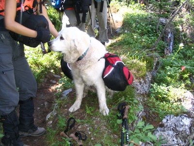
 This little fellow is named 'Mo Mo' and he belonged to a group of hikers that we followed and shared camps with for both nights. I just thought he was pretty cute since he had his own little harness to carry stuff.
 Our trail map said that once at the top of the first ridge, it was 1km and 250m down to the river at the bottom. Garrett and I decided to have lunch down by the river, so once we made it to the top (oh the glorious top!), we stopped to take a few pictures before heading back down.
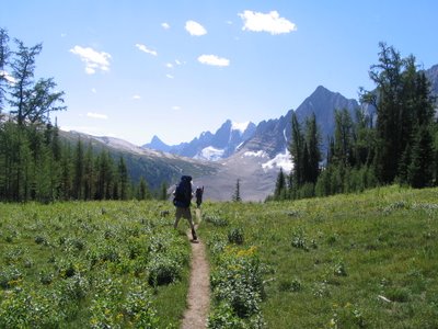
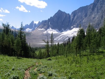 It seems such a shame to climb up that high before immediately start all the way back down again. Why did we have to climb it at all?! Anyway, after walking much farther than just 1km (inaccurate map), we got to this little stream and settled down for a brief lunch and relax.
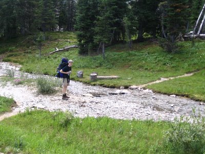
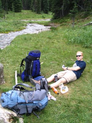 Following our lunch, we headed through some rocky terrain to start back up on our second climb of the day - 320m. The area at the base of the mountains was really interesting and different than the other landscape we'd been through before - every few km's during our hike we came across a new landscape of one sort or another.
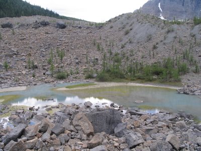
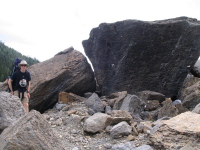
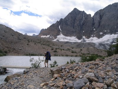 We crossed the river and prepared to start climbing ridge number 2.
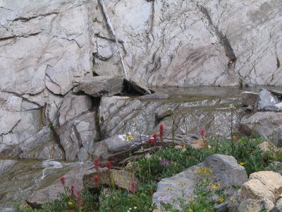
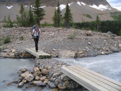 This was a nice little stream before we re-entered the forest. Note the wildflowers growing in front - these flowers were all over the place and really contributed to the beauty around us.
 Climb number 2 was far more grueling than the first one, as it was steeper, higher and we were tired from the many hours of hiking we had already done. As well, eating immediately before engaging on a steep climb is probably not recommended, and my stomach didn't really care for my choice of activities after stuffing it with yet more granola bars and trail mix. I did manage to keep everything down however, and struggled up the hill with my increasingly aching knee and tired body.
 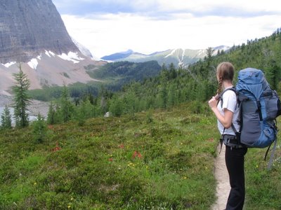 We climbed up above the tree line and I had to admit that the view was fantastic and the landscape amazing. Being up that high was probably my favorite part of the trip. I just loved how neat everything looked, and how far we could see.
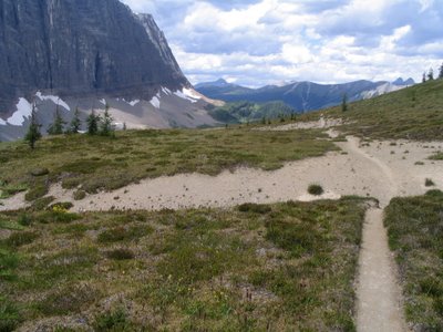
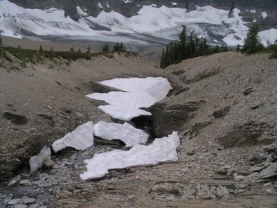 However, just before achieving our summit I called an emergency break time where I re-hydrated myself and attempted to feel better. I was feeling pretty poorly after the climb, likely due to drinking too little water, not eating enough (seriously, you can get tired of granola bars REALLY fast) and pushing myself hard up the hill. Here's a picture of me not looking too happy.
 After a brief break and the application of some much needed water and gatorade, I was good to go again. The wind really picked up at this point and we started to feel very exposed to the weather, as it looked like some dark clouds might roll in. Luckily, they blew right by us, but the wind was strong and persistent for about half an hour until we descended a bit.
 Here's a picture of the Rock Wall, that which the hike was named after:
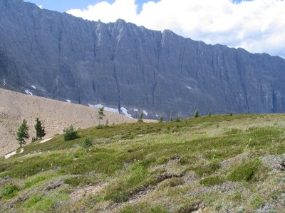 This valley below was also one of my favorite parts of the hike. It really reminded both Garrett and I of those 'Ricola' cough drop commercials, and I couldn't help but call out 'Ree-Co-La!' a few times just for fun.
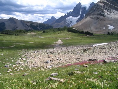 Also at this valley was Wolverine Pass, a short trail between the mountains that allowed us to see west towards more of the BC mountain ranges. We ditched our packs for this brief detour.
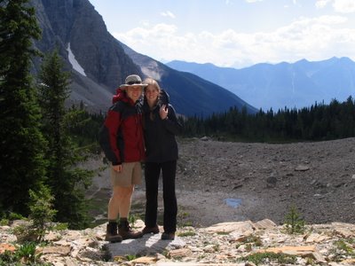
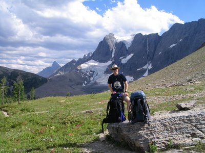 The other great part about this valley was that it indicated the start of our descent into the campsite, another 350m down from where we were. This part of the trail was also really rough on our tired and sore bodies as we neared our seventh hour of hiking! By this point I contemplated just rolling myself and my pack down the mountain. I also thought about tossing my stupid pack down the side of the mountain and sending my hiking boots along with them - I was so sick of both! Sore shoulders/back/hips and sore feet! But I didn't. Oh, but how I wanted to.
On the way down, I finally wised up and found a walking stick to facilitate my descent. When we finally made it into camp, it was all I could do to get to our tent site before laying down and resting my poor self. We set up camp and went to make ourselves some more grub, after which I konked out for an hour nap because I just couldn't stay awake anymore. So tired!
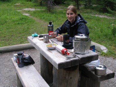 We met some nice people on our trip as well. Most of the other hikers are really friendly and considerate of each other. We spoke with a couple from San Francisco who also found the hike grueling, and were likewise looking forward to visiting Radium Hot Springs once out of the mountains tomorrow.

0 Comments:
Post a Comment
<< Home